Just Earth News | @justearthnews | 24 Jan 2022, 11:51 am Print
 China Tibet
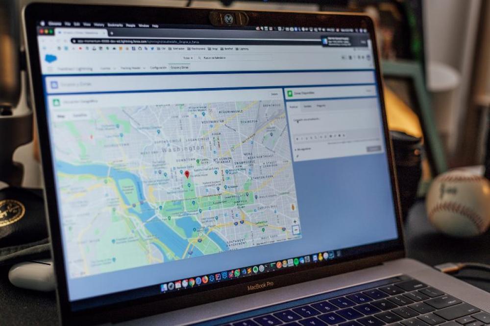
 Representational image by Edgar Moran on Unsplash
Reddit users have questioned what Chinese authorities are trying to hide in Tibet as a portion of the country remains hidden from Google Map.
The coordinates 30.846054 and 81.668028 are clear today, however in an image Reddit user aloner-pro discovered a year ago, the area was censored out by a large gray box that stuck out against the rest of the countryside, reports British tabloid The Daily Star.
The area which triggered a debate on social media is a mountainous countryside near the town of Muba in the southern Tibetan province of Ngari.
One Reddit user was quoted as saying by the newspaper: "Labor camps? But those are usually in Xinjiang."
Another joked: "Nothing to see here."
A third user also joked: "I just looked up the coordinates and it looks normal like the rest of the land. I could’ve been moved somewhere else by the Russians."
- Hajj 2026 countdown starts – Saudi Arabia opens visas for pilgrims
- Samsung targets Gen Z with feature-packed Galaxy F70e 5G — Here’s why you’ll want to buy it now
- Spotify just made your music come alive with this new feature
- From mourning to outrage: US man sentenced for leaving 200 bodies to decay while pocketing funeral cash
- Who was Saif al-Islam Gaddafi? Inside the violent end of Libya's ex-dictator's son


-1763561110.jpg)
