Just Earth News | @justearthnews | 20 Jul 2021, 04:59 am Print
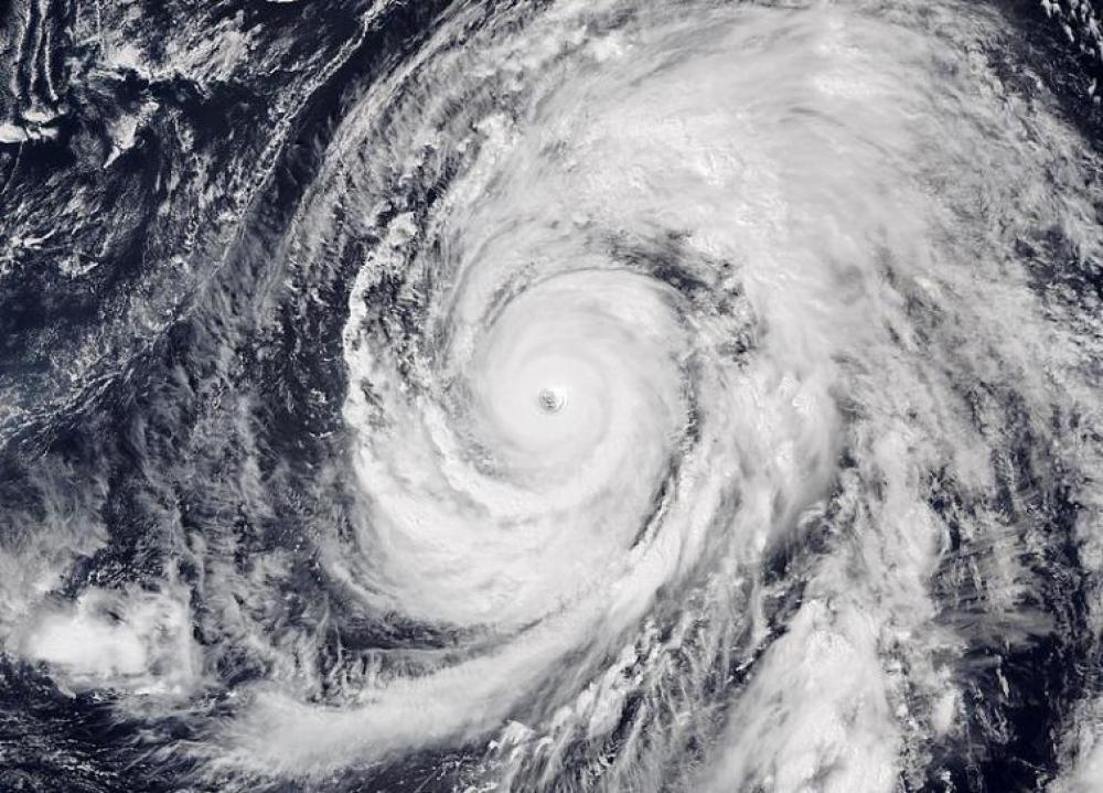
 Cempaka | In-Fa
 Image: Wikimedia Commons
Hong Kong: Two major storms - Cempaka and In-Fa - are forming in the east Asian waters, both of which are expected to bring strong winds and heavy rains to the region in the coming days, said media reports.
Tropical storm Cempaka strengthened early Tuesday over the South China Sea. It was located 185 kilometers southwest of Hong Kong as of 5 a.m. with wind speed up to 120 kph, according to CNN.
Cempaka is likely to weaken as it approaches land. The Hong Kong Observatory's typhoon warning signals has issued Strong Wind Signal No. 3 which indicates wind speed of 41 to 62 kph, the report said.
In-Fa is moving northwards and its impact will be on Japan's southern islands and Taiwan.
It is expected to bring rain to Japan ahead of the Olympic Games, which start in Tokyo on Friday, CNN reported.
Cempaka is expected to make landfall near the city of Yangjiang in China's Guangdong province, bringing heavy, flooding rains to southeastern portions of the country throughout this week.
Strong, gusty winds, especially near the coast where the storm will make the landfall are expected and may lead to power disruptions.
In-Fa will strengthen to a typhoon by midweek as it moves towards Taiwan.
It will blow over the north of the island, bringing the much needed rain as Taiwan is going through the worst drought in more than 50 years.
It will then make landfall over China late Saturday night into early Sunday morning hours local time along the coast of central Fujian province.
- Disturbing viral photo: IDF soldier allegedly seen striking Jesus statue in Lebanon, probe ordered
- Who is Shamim Mafi? Iranian-origin businesswoman arrested in US for allegedly trafficking arms on behalf of Tehran
- Austria: Rat poison found in HiPP baby food jar; products precautionary recalled
- Pakistan test-fires anti-ship ballistic missile amid Middle East tensions
- Hormuz jolt: Iran reimposes curbs within 24 hours of reopening


